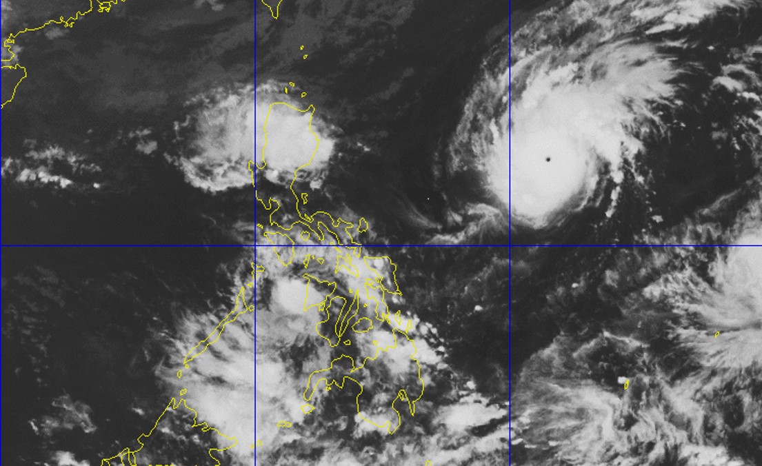
Tropical cyclone signals number 3 and 4, which are associated with destructive to very destructive winds, may be hoisted in some parts of the Philippines as typhoon Rolly (with international name ‘Goni’) continues to intensify before its landfall over Luzon, according to the Philippines Atmospheric, Geophysical and Astronomical Services Administration (Pagasa) on Friday.
As per the latest October 30 bulletin of Pagasa, Rolly is forecast to strengthen as it enters the Philippine area of responsibility (PAR), with a peak intensity of 175-185 km/h.
“Given that it is likely for this typhoon to continue intensifying prior to landfall, the highest possible tropical cyclone wind signals (TCWS) that will be raised throughout the passage of this typhoon will be TCWS #3 or #4 (associated with destructive to very destructive typhoon-force winds),” PAGASA said.
As of Friday, no locality is currently under signal number 1. However, Pagasa said it may raise signal number 1 in the Bicol region on Friday afternoon in anticipation of strong breeze to near-gale conditions brewing in the area.
On the forecast track as of 10 am October 30, the eye of Rolly is projected to make a landfall over the eastern part of Central Luzon, with a maximum sustained winds of 165 km/h near the center and gustiness of up to 205 km/h.
Beginning Saturday or Sunday, Rolly is also likely to bring heavy to intense rains over Northern and Central Luzon.
Meanwhile, the US Navy – US Air Force Joint Typhoon Warning Center (JTWC) earlier forecast a higher peak strength of the tropical cyclone at 240.76 km/h, with a maximum sustained winds and gusts reaching 296 km/h on Saturday.
If this forecast proves true, Rolly would be the strongest cyclone to enter the PAR for 2020, and the first super typhoon for this year.
However, the US JTWC classifies typhoons according to one-minute average measurements of sustained winds, compared to the tropical cyclone intensity scale used by Pagasa, which makes readings based on 10-minute average measurements of sustained winds.
As a result, the US JTWC’s wind readings are higher than PAGASA’s measurements.


