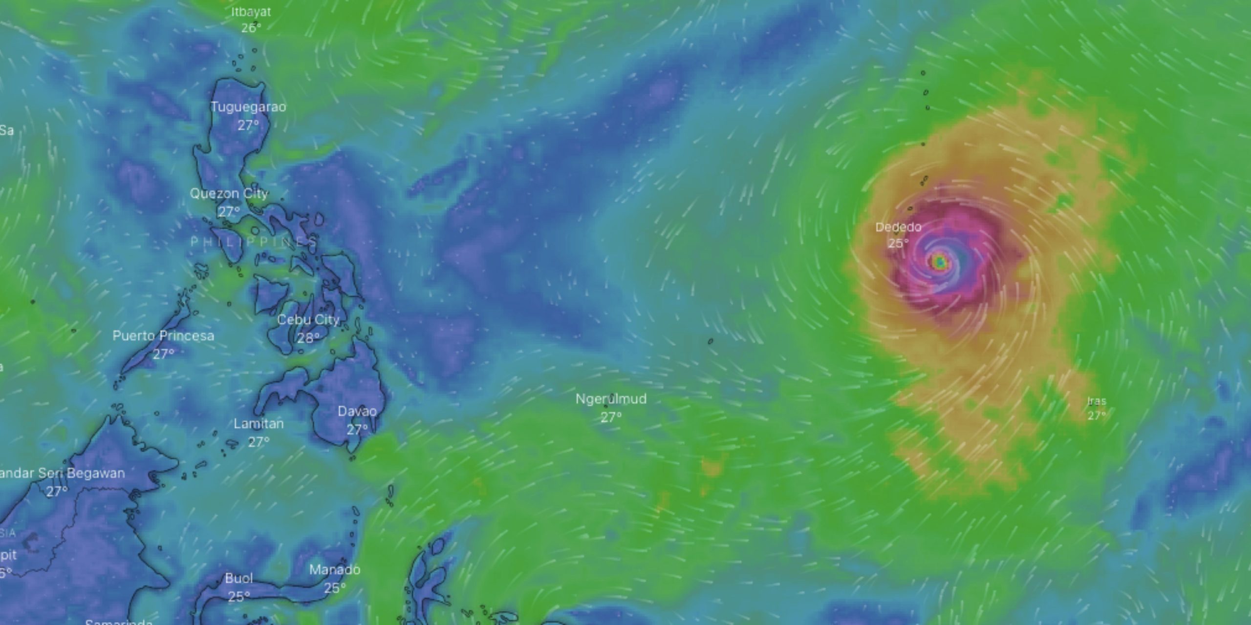
The state weather service PAGASA announced on Tuesday afternoon, May 23, that the tropical cyclone outside the Philippine area of responsibility has intensified into a super typhoon. Named “Mawar” internationally, the typhoon is currently packing winds of 185 kph near its center, with gusts reaching up to 230 kph. Moving northward at a speed of 15 kph, Mawar is still situated approximately 2,285 kilometers east of Visayas, according to PAGASA.
While the cyclone has not yet directly impacted any part of the country, some areas are currently experiencing cloudy skies and rains due to the southwesterly wind flow, as reported by state weather forecasters. However, the situation is expected to change as Mawar approaches the US territory of Guam in the Pacific.
— PAGASA-DOST (@dost_pagasa) May 23, 2023
Forecasters have warned that Mawar, with its ferocious winds, poses a significant threat to Guam and could potentially hit the island on Wednesday.
The Guam Joint Information Center has issued a statement cautioning residents about heavy rainfall expected to develop over the next few days. Rainfall amounts of 8 to 15 inches are anticipated, with the possibility of even higher localized amounts. The slowing forward speed of the typhoon raises concerns about potentially significant rainfall totals, increasing the risk of flash floods and landslides.
As a precautionary measure, Thunderstorm Advisory No. 7 has been issued for certain areas, including Zambales, Quezon, and Bataan.
Moderate to heavy rain showers accompanied by lightning and strong winds are expected in these regions within the next two hours. Metro Manila, Bulacan, Rizal, Pampanga, Tarlac, and Nueva Ecija are also experiencing similar weather conditions, which may persist and impact nearby areas. Residents are advised to take necessary precautions to protect themselves from potential hazards associated with these conditions.
Authorities and residents alike are closely monitoring the progression of Super Typhoon Mawar as it continues its trajectory toward Guam. Further updates and advisories are expected to be issued as the situation unfolds.


