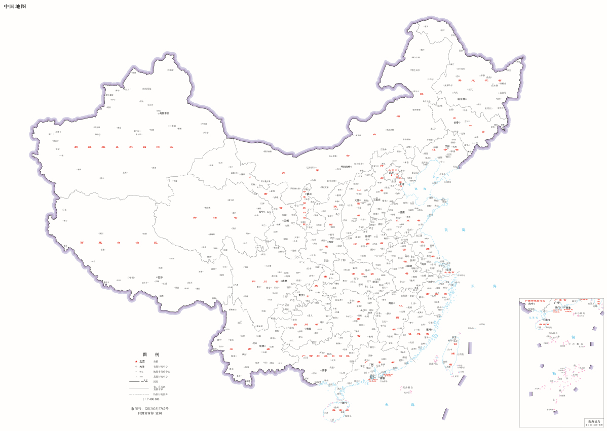
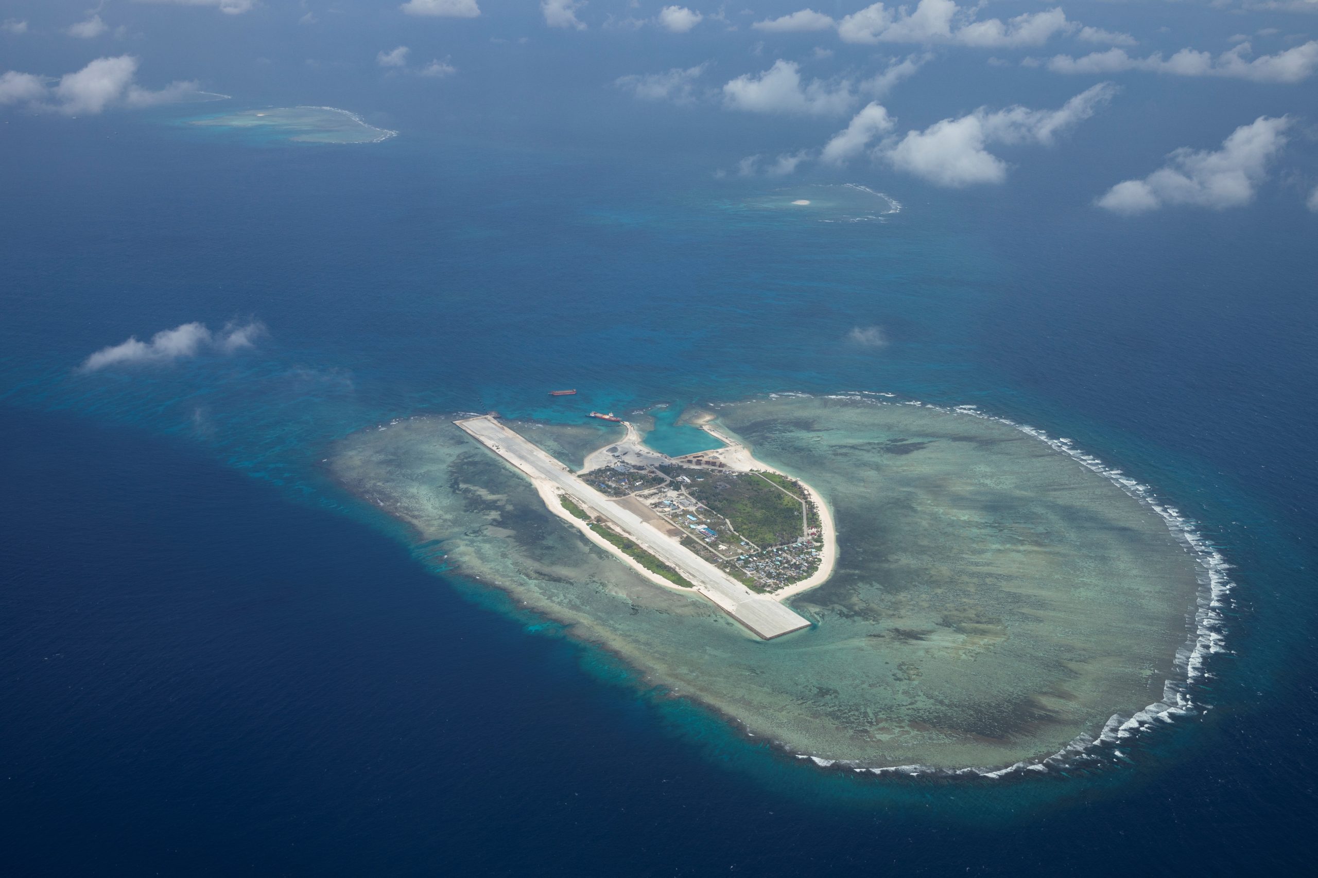
China has once again stirred controversy by unveiling its 2023 map that includes the West Philippine Sea as part of its territorial claim.
This move contradicts international law and an earlier arbitral ruling, reflecting China’s persistent assertion of ownership despite objections.
Released by China’s Ministry of Natural Resources, the map features a 10-dash line, outlining what China asserts as its territory, encompassing the entire South China Sea. The problem arises as this line encroaches upon the exclusive economic zones (EEZs) of neighboring countries, including the Philippines, Malaysia, Brunei, Vietnam, and Indonesia.
As per the United Nations Convention on the Law of the Sea (UNCLOS), a nation’s EEZ generally stretches up to 200 nautical miles from its coastline, granting rights and responsibilities for resource management within this area.
Notably, China’s map contradicts UNCLOS by encompassing West Philippine Sea features within its expansive 10-dash line.
The map also claims Taiwan, the self-governing island, as part of China, in addition to asserting control over Indian territories like Arunachal Pradesh and the Aksai Chin plateau, which has led to the diplomatic protest of India.
China’s map release coincides with the recent provocations in the South China Sea, involving naval deployments and confrontations with foreign vessels, including Filipino patrols.
According to a China Daily report, the map’s unveiling occurred during the Surveying and Mapping Publicity Day and the National Mapping Awareness Publicity Week.

This move deepens regional concerns and strains diplomatic relations, as neighboring nations dispute China’s territorial claims and its disregard for established international norms.


